X
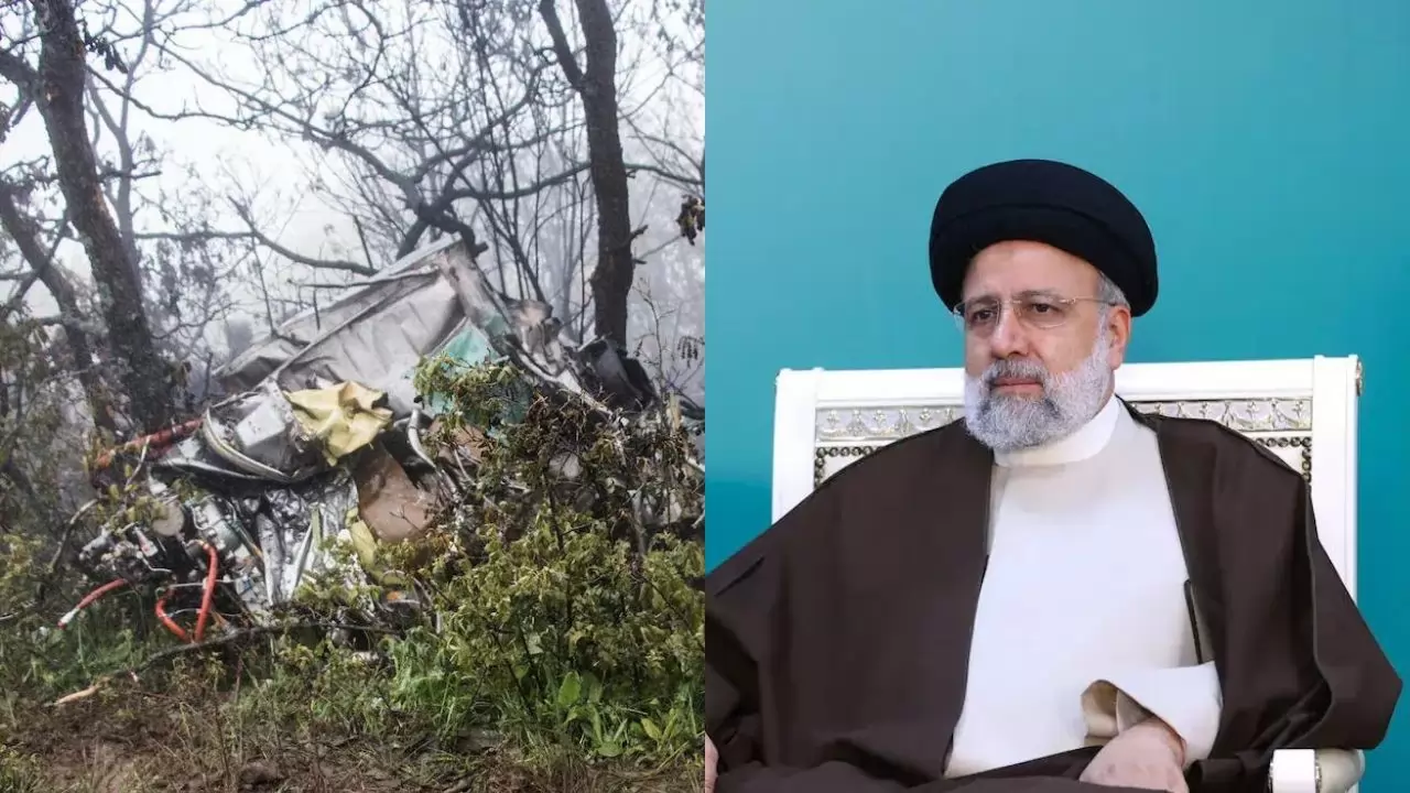
The General Staff of Iran's Armed Forces made a statement on Wednesday, casting doubt on the involvement of a Turkish drone in locating the crash site of President Ebrahim Raisi's helicopter. Instead, they emphasized the effectiveness of their own drone technology in the search effort.
Earlier reports from Turkey's Anadolu Agency claimed that a Turkish Akinci drone had identified a heat source suspected to be the wreckage of President Raisi's helicopter. The drone purportedly shared the coordinates of this discovery with Iranian authorities.
Iran's military stated that despite the Turkish drone's equipped features like night vision and thermal cameras, it struggled to pinpoint the crash site accurately due to poor weather conditions. The absence of specific detection equipment and control points below the clouds hindered its effectiveness.
Both Iran and Turkey possess substantial drone arsenals and have actively promoted their drone capabilities in the global market. However, Western powers have raised concerns about Iran's alleged drone exports to Russia for its operations in Ukraine, an accusation Tehran denies.
Iran's military clarified that their own advanced drones, equipped with synthetic aperture radar, were unavailable for immediate deployment as they were stationed in the northern Indian Ocean. Ultimately, ground rescue forces and drones recalled from the Indian Ocean facilitated the discovery of the crash site, where President Raisi and other officials were found.
The official news agency IRNA reported that the coordinates provided by the Turkish drones were approximately 7 kilometers (4 miles) off from the actual crash site.
Iran's military justified choosing Turkey as an aid in the rescue operation due to its proximity to the accident site in the northwest region of the country.


Copyright © 2025 Top Indian News
